

Watermillock Fell [Little Mell Fell South Top]
Good walks are even better shared.
NY4223 : Country road west of Underwood
Graham Robson Photo source
Overview
Watermillock Fell [Little Mell Fell South Top]
Nestled in the heart of the beautiful Lake District, Watermillock Fell, also known as Little Mell Fell South Top, presents itself as a charming and accessible destination for hikers of all levels.
Geology
The geology of Watermillock Fell is quite fascinating, featuring volcanic rocks formed during the late Carboniferous to Permian period. The area is a geologist's dream, with its fascinating lava flows and ash deposits, showcasing the ancient history of this stunning landscape.
Routes
One popular route is the Watermillock Circular Route, which spans approximately 6.5 km, taking around 2.5 hours to complete. This moderate trek is perfect for those who want a leisurely yet rewarding walk, combining beautiful scenery and a good workout. Starting from the village of Watermillock, it offers a blend of grassy paths and rocky sections, especially as you approach the summit.
Summit Features
At the top of Watermillock Fell, you'll find a modest cairn marking the highest point, making it an ideal spot to pause and take in the spectacular views. Be sure to catch your breath and take out that packed lunch, because with vistas of Ullswater Lake and the majestic Helvellyn range laid out before you, there’s much to savour.
Terrain
The terrain can be described as grassy with scattered rocky outcrops, making for generally easy walking, although those rocks can trip up an unwary foot! The route offers a pleasant wander through nature, so keep your eyes peeled for local wildlife.
Views
The views from the summit are simply breathtaking. On a clear day, you can see Ullswater Lake stretching out like a sapphire in the valley below, with the impressive peaks of Helvellyn framing the backdrop. The best times to enjoy these views are in spring and autumn, when the landscape bursts alive with colours and the air is crisp. Don’t forget early morning for a mystical experience as the mist lifts!
Hazards
As with any mountainous area, take heed of the typical hazards. Be prepared for slippery conditions after rainfall, and remain vigilant as weather can change unexpectedly in the Lakes. A sturdy pair of walking boots and a good layer of sense are advisable!
Nearby Summits
Nearby, you have the notable Little Mell Fell and the more prominent Great Mell Fell, both of which can be tackled individually or as part of an extended journey.
Access
Accessing Watermillock Fell is easy. There’s a convenient free car park located in Watermillock village that accommodates a small number of vehicles. For those reliant on public transport, buses run from Penrith, allowing you to reach this elevated paradise with ease. The closest town, Penrith, boasts all the amenities you might need before or after your adventure.
Facilities
Facilities near Watermillock are quite limited in the village, but you can find a nice pub serving refreshments and some local shops. For a more extensive selection, Penrith is just a short bus ride away!
History
The name Watermillock has historical roots, with 'lake' and 'mill' tracing back to Old Norse origins, hinting at the area’s milling heritage. This fell has been a source of inspiration and sustenance for local communities for centuries, making it significant both culturally and historically.
There's much to love about Watermillock Fell. Whether you're a seasoned walker or a novice, this fell welcomes all with open arms and a breathtaking view (or two)!
Happy hiking!
Explore routes near Watermillock Fell [Little Mell Fell South Top]
Walks starting near this hill. Open a route to check its map, distance and full itinerary.
Striding Edge, Helvellyn and Catstye Cam
View route
Helvellyn via Striding Edge
View route
Bannerdale Crags from Mungrisdale Wainwright
View route
Mungrisdale Common and Bowscale Fell from Mosedale Valley Wainwright
View route
Route planning notes
These notes describe possible approaches. Check a route's map and access information when planning your walk.
Watermillock Circular Route
A scenic loop starting from Watermillock village, offering beautiful views along the way.
Make a day of it, together
Find someone to share the walk with, or organise a day out along a route you like.
Photo Gallery
View all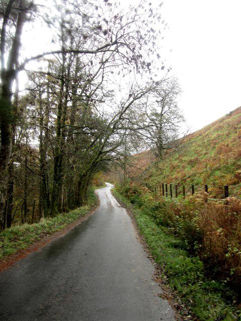 Photo could not load
NY4223 : Country road west of Underwood
Graham Robson
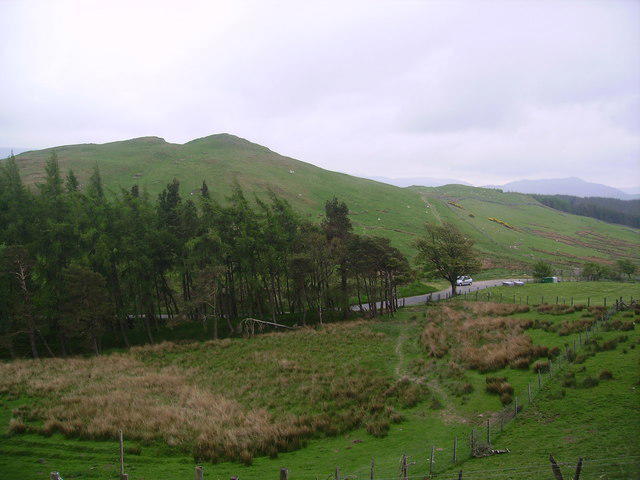 Photo could not load
NY4223 : The Hause
Michael Graham
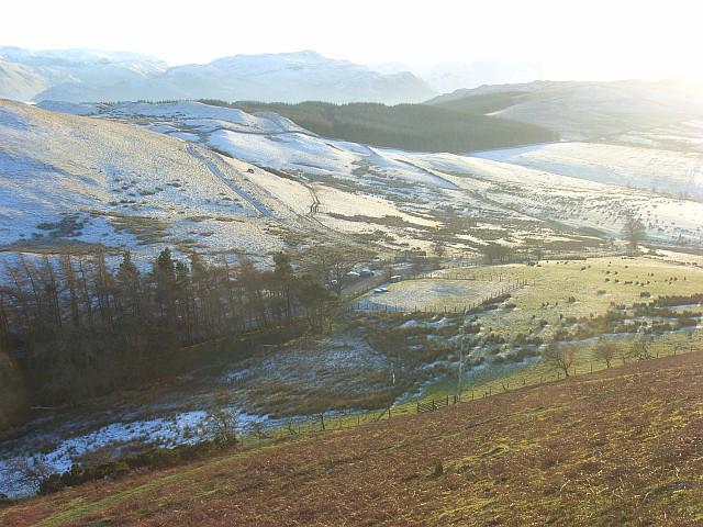 Photo could not load
NY4223 : The Hause, Watermillock
Andrew Smith
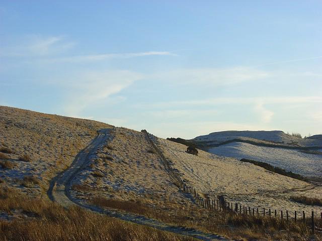 Photo could not load
NY4223 : Pastures above Watermillock
Andrew Smith
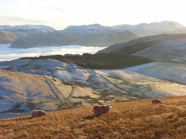 Photo could not load
NY4223 : Sheep on Little Mell Fell
Andrew Smith
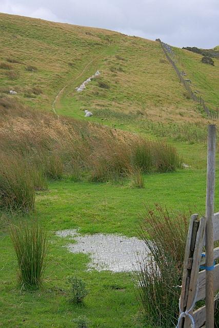 Photo could not load
NY4223 : Track up from The Hause
Mick Garratt
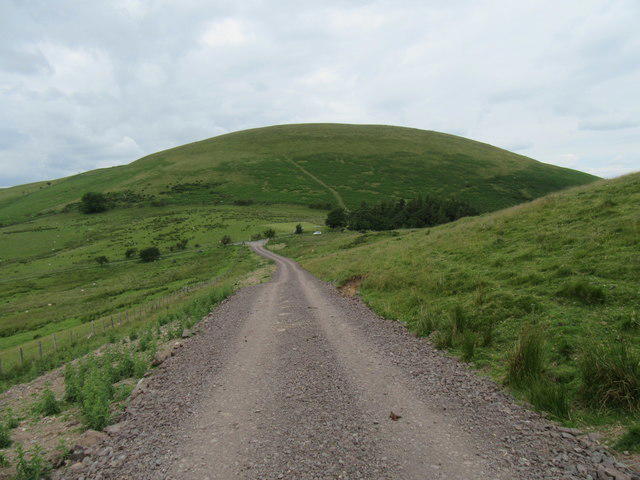 Photo could not load
NY4223 : Little Mell Fell ahead
T Eyre
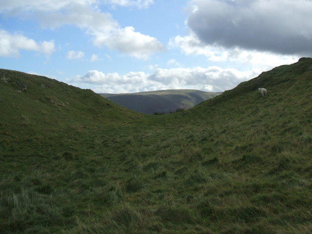 Photo could not load
NY4223 : The dip between the two tops of Watermillock Fell
David Brown
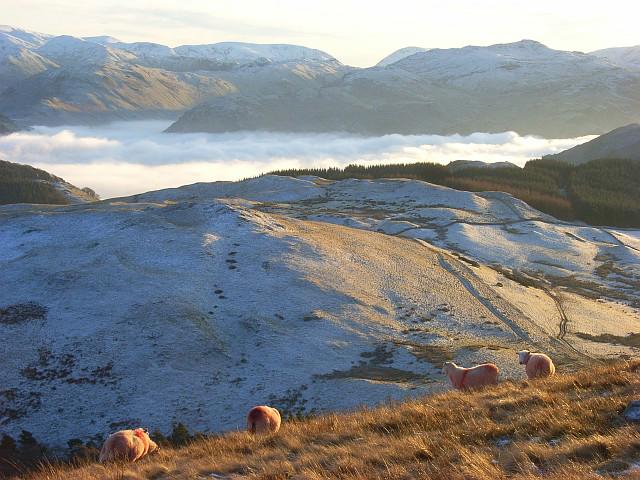 Photo could not load
NY4223 : Sheep on Little Mell Fell
Andrew Smith
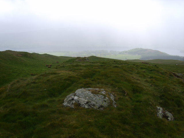
NY4223 : On Watermillock Fell
Michael Graham
Hill facts and local notes
Classifications
Elevation
424m
1,391 ft
Prominence
40m
Coordinates
54.6018, -2.8922
NY424233
OS Map
90
Explorer: OL5S
At the Summit
The summit is crowned with a small cairn, offering a perfect spot for a well-deserved breather and some stunning vistas.
Terrain & Geology
The fell is predominantly composed of volcanic rock, characteristic of the area, formed during the late Carboniferous to Permian period. This includes lava flows and ash deposits, giving it a fascinating geological history.
Views & Scenery
From the summit, one can see the expansive Ullswater Lake, the towering peaks of Helvellyn, and the surrounding fells.
History & Heritage
Name Origin
The name 'Watermillock' is derived from Old Norse elements meaning 'lake' and 'mill', highlighting its historical connections to the locality’s milling practices.
Historical Significance
Historically, the fells have provided local communities with resources and inspiring landscapes, attracting hikers and climbers for generations.
Getting There & Facilities
Parking
There is a free car park in Watermillock village, suitable for a handful of cars.
Public Transport
Bus services from Penrith to Watermillock operate several times a day.
Nearby Facilities
The nearby village of Watermillock offers a pub with refreshments and a few local shops. For full amenities, head to Penrith.
Safety Information
Known Hazards
- Watch for slippery slopes, especially after rain, and be wary of sudden weather changes common in the Lake District.
General Safety Tips
- Check weather conditions before setting out
- Carry appropriate clothing and equipment
- Let someone know your planned route
- Take a map, compass, and GPS device
- Carry emergency supplies: food, water, first aid kit, torch
Hills
Some common questions about the hills answered
Are there group walks up Watermillock Fell [Little Mell Fell South Top]?
Many walkers use Walkmates to join or organise walks with others. You can check for group walks around Watermillock Fell [Little Mell Fell South Top] through the maps
Are there other walkers around Watermillock Fell [Little Mell Fell South Top]?
Activity varies by location and time, but Walkmates lets you see whether others have shared walks or shown interest in this area. Find other people through the walking friends search walking friends for Watermillock Fell [Little Mell Fell South Top] search or of course create your own walk for Watermillock Fell [Little Mell Fell South Top]
Can I organise a walk to Watermillock Fell [Little Mell Fell South Top]?
Yes. If there aren’t any walks listed already, you can create a walk and make it available for others to join.
If you're signed up to Walkmates, you can create a walk to Watermillock Fell [Little Mell Fell South Top].
How do I find a walk up this hill?
There are often multiple ways to walk this hill, depending on experience and route preference. Walkmates helps you explore walks and routes that others have shared.
Can I suggest a new route up Watermillock Fell [Little Mell Fell South Top]?
Yes. You can suggest or create routes to share with others. Walkmates focuses on the social side of walking, so routes are used to help people organise walks and explore areas together, rather than as detailed navigation tools or route libraries.
Other uses really appreciate knowledgeable walkers sharing their routes. Share your favourite route to Watermillock Fell [Little Mell Fell South Top] here
The is an error or something incorrect about this hill. How do I let you know?
We always strive to keep the information on Walkmates as accurate as possible. If you find an error, please let us know through the contact form and we'll aim to correct it as quickly as possible
Community Discussion
Comments
Location
![Watermillock Fell [Little Mell Fell South Top] location map](https://cdn.walkmates.com/hill-maps/hill-sources/3849/54.60176_-2.89224.png)
Grid reference: NY424233
View on OpenStreetMapOpens a map in a new tab, centred on the hill.

No comments yet. Be the first.